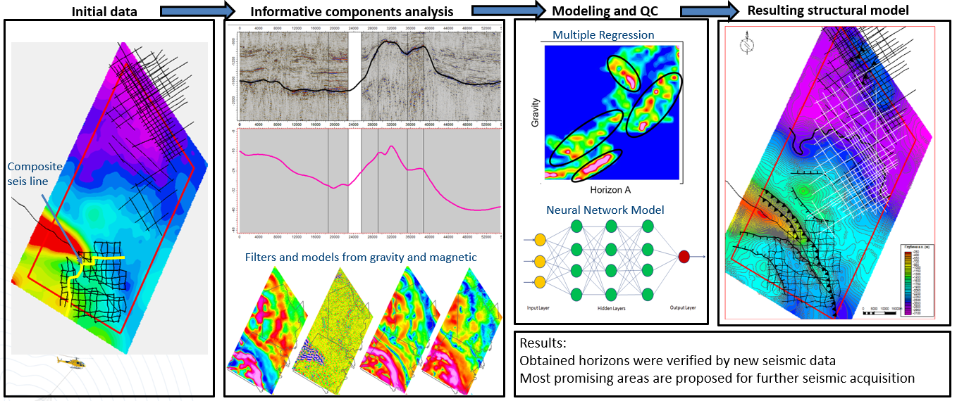
Mapping sedimentary basins and structural controls for oil and gas exploration program
(cost effectively placing seismic surveys)
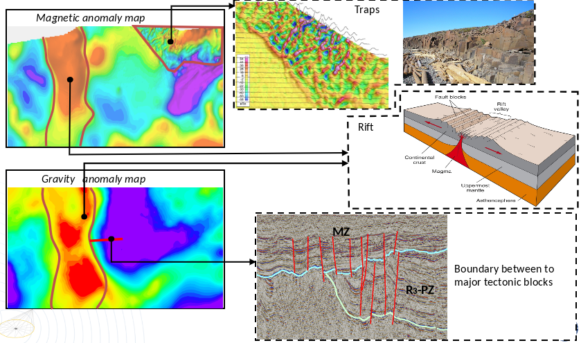
Identification and mapping of
fault blocks, igneous intrusives Identification and mapping of
fault blocks, igneous intrusives
Mapping and modeling objects with anomalous densities
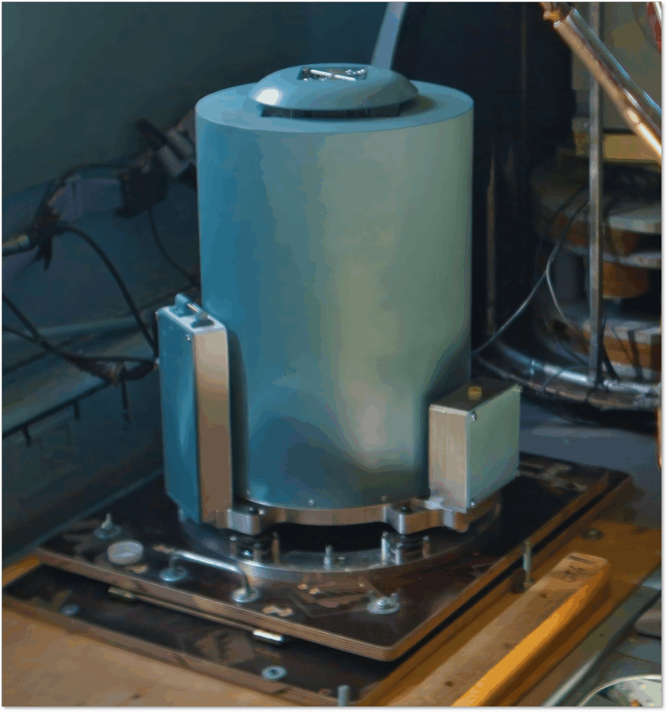
Key parameters
Error in gravity anomaly
< 0,2 mGal
Reference class accelerometers
6
High resolution gyros
3
Dynamic range
±2 g
Power
<120W
Weight
<З0 kg
Raw data acquisition and storage frequency
320 Hz
AGP-GRAV uses two triads of accelerometers to improve the accuracy of the data
AGP-GRAV has dual circuit temperature control system that allows the gravimeter to be used over a wide temperature range and further reduces zero-point drift
AGP-GRAV is specially calibrated to take into account all parameters of the sensors
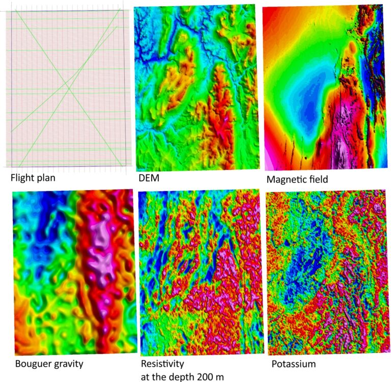
Multi-parameter survey that acquire maximum of geophysical parameters simultaneously